Explore 6,300 acres of parks and
conservation areas, perfect for hiking.
Thompson Park
Wind your way through this public park and conservation area, taking in the forests and fields around Manalapan Lake. Start at the lodge on the White Trail, follow the outer loop to Gravel Hill, and head down to Hoffman Station property and back.
Trail MapJohn A. Phillips
Preserve
Located in the heart of the Spotswood Outlier, if you’re looking for a short, easy hike, this is the perfect place for you.
Trail Map
Mill to Brook Trail
This 9-mile hike takes you through one of the most picturesque areas of Middlesex County. Take the outer loop at the Mill and follow the Farrington Lake Trail north to the Forest Brook Trail and the Ireland Brook Trail. Visit the ponds to spot plant and animal life.
Trail MapCheesequake
State Park
This park is famed for its range of natural vistas and upland hardwood forest, featuring a vast, white-cedar swamp, and miles of coastal saltwater marshes. Check out the Nature Center for guidance on the best trails and sites. This park is also a great place for camping!
Trail Map
Heathcote Meadows
Preserve
Nestled just outside of Kingston, this preserve offers a glimpse into the rich farming history of the area, providing wonderful opportunities for hiking, walking, and wildlife sighting. Take a leisurely 1.4-mile hike or a 34-mile adventure along the Delaware and Raritan Canal Towpath.
Trail MapIreland Brook
Conservation Area
Meander through this 500-acre conservation of rushing brooks. Take the short 0.8-mile loop, blue-blazed Forest Brook Trail to view Ireland Brook and its outflow into Laurence Brook. For a longer journey, take the 2.9-mile Ireland Brook Trail (yellow blaze) across the old Fast Line Trolley line.
Trail Map
Davidson's Mill
Pond Park
Looking for a peaceful hike? We suggest this tranquil spot. Featuring fun-but-tough switchback trails under a thick forest canopy, it’s the perfect place for hikers looking for a challenge.
Trail MapJamesburg Park
Conservation Area
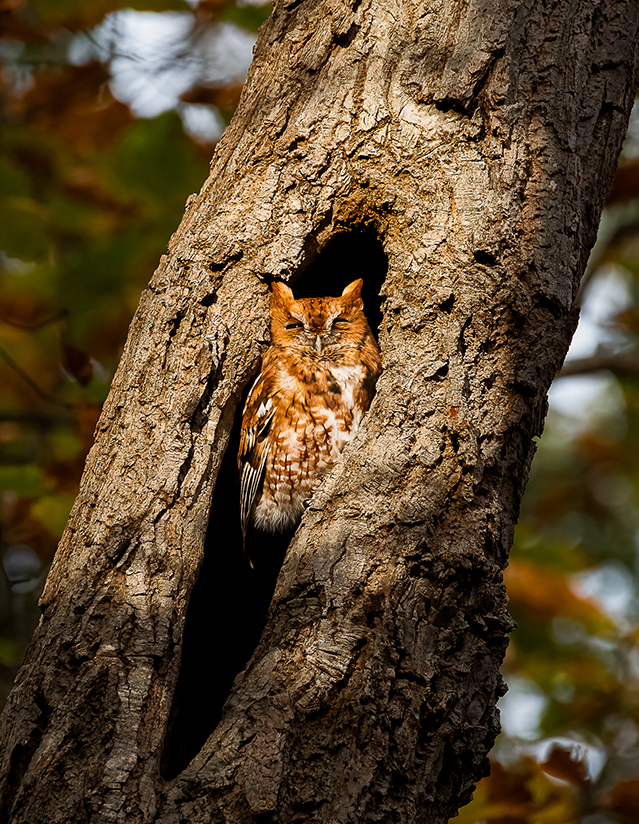
This conservation area has been enjoyed by visitors around New York and New Jersey since the early 20th century. Take a beautiful 7.5-mile hike decorated with berries, post oaks, and endangered species of plants and animals. This spot is perfect for hikes and picnics!
Trail Map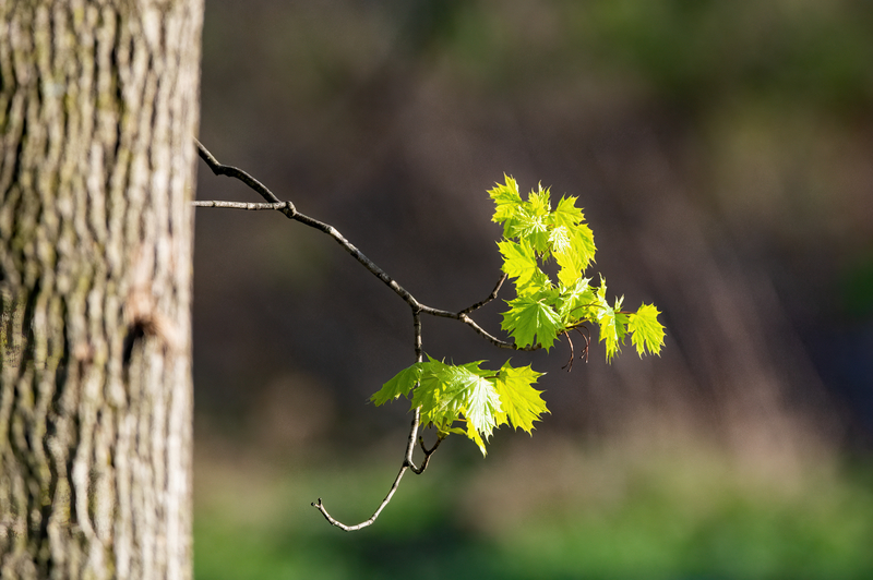
Scott's Corner
Conservation Area
This 159-acre preserve is home to the New Jersey Audubon Nature Center. It has a tidy, ½ mile loop trail that winds through towering beech trees toward a bird blind overlooking a small, hidden pond full of turtles, frogs, and other wildlife.
Trail Map